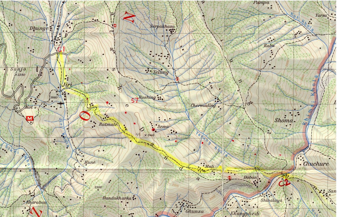
 This is part of the Schneider 1:50,000 map of Tamba Kosi - Likhu Khola, Nepal.
October 17, 1997. Use "Back" to return to photo of Shivalaya.
October 17, 1997.
Use "Back" to return to photo of Shivalaya.
This is part of the Schneider 1:50,000 map of Tamba Kosi - Likhu Khola, Nepal.